In the vast landscape of construction and infrastructure development, precision is paramount. The Diploma in Road, Land, and Civil Surveying emerges as a crucial educational pathway for individuals aiming to specialize in the surveying of roads, lands, and civil engineering projects. This comprehensive blog post will delve into the intricacies of the Diploma in Road, Land, and Civil Surveying, unraveling its introduction, benefits, study units, learning outcomes, target audience, and the promising avenues for future progression in the dynamic field of surveying.
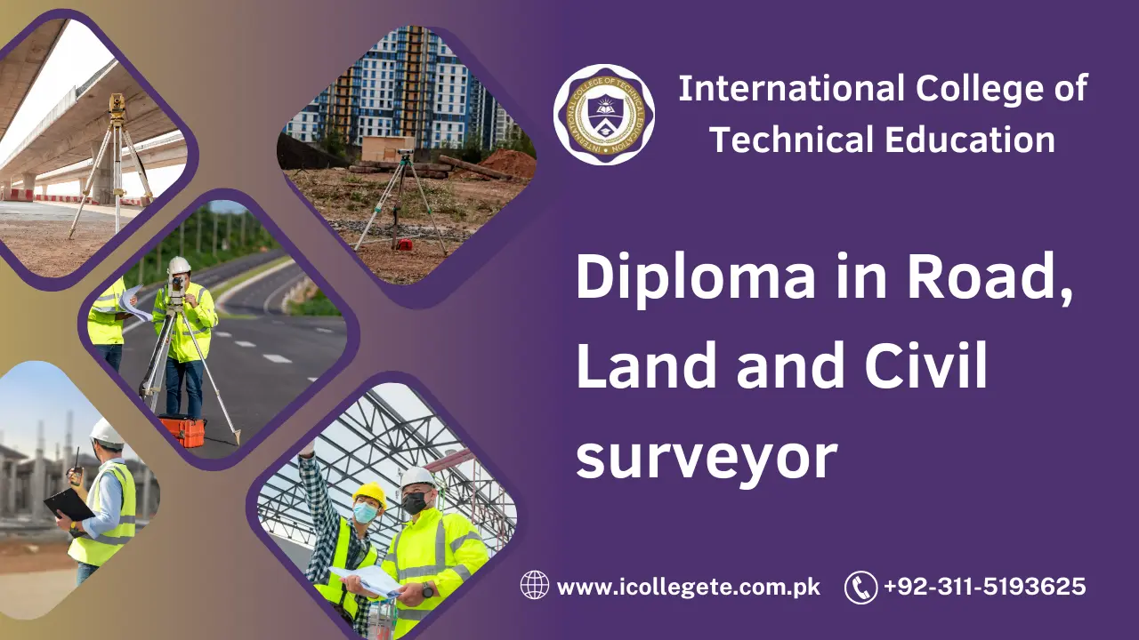
Diploma in Road, Land and Civil surveyor
The Diploma in Road, Land, and Civil Surveying is a specialized program meticulously designed to equip individuals with the skills and knowledge needed to excel in the surveying and mapping of roads, lands, and civil engineering projects. This comprehensive course covers a spectrum of surveying techniques, tools, and technologies used in the planning, design, and construction of infrastructure. Aimed at producing highly skilled surveying professionals, the program combines theoretical knowledge with hands-on practical experience.
Course Benefits
- Versatile Skill Set: The diploma program provides a versatile skill set, encompassing various surveying techniques used in road construction, land development, and civil engineering projects.
- Hands-on Training: Emphasis is placed on practical skills, allowing students to gain real-world experience in using surveying equipment, conducting field surveys, and analyzing data.
- Industry-Relevant Curriculum: The curriculum is crafted in collaboration with industry experts, ensuring that students are exposed to the latest advancements in surveying technology and methodologies.
- Diverse Career Opportunities: Successful completion of the diploma opens doors to diverse career opportunities, including roles in construction companies, government agencies, consulting firms, and surveying companies.
- Global Recognition: The diploma is recognized internationally, providing graduates with the flexibility to pursue surveying opportunities not only in local markets but also on a global scale.
Study Units
The Diploma in Road, Land, and Civil Surveying is structured to cover a comprehensive range of study units, ensuring that students acquire a holistic understanding of surveying techniques applicable to roads, lands, and civil engineering projects. Key study units include:
- Geodetic Surveying: Understanding the principles of geodetic surveying to accurately measure and map large areas, critical for road and land development projects.
- Topographic Mapping: Learning to create detailed topographic maps that represent the natural and man-made features of a landscape, essential for civil engineering projects.
- Road and Highway Surveying: Delving into surveying techniques specific to road and highway projects, including alignment surveys and earthwork calculations.
- Land Development Surveying: Exploring the surveying aspects of land development projects, including subdivision surveys, boundary determination, and land titling.
- Construction Surveying: Understanding the role of surveying in construction projects, including setting out building structures, ensuring accurate dimensions, and monitoring construction progress.
Learning Outcomes
Upon completing the Diploma in Road, Land, and Civil Surveying, graduates can expect to:
- Accurate Measurement and Mapping: Master the techniques for accurately measuring and mapping roads, lands, and civil engineering projects using advanced surveying equipment.
- Effective Topographic Mapping: Create detailed and accurate topographic maps that serve as crucial references for infrastructure development and environmental planning.
- Precise Road and Highway Surveys: Conduct precise surveys for road and highway projects, ensuring proper alignment, grades, and earthwork calculations.
- Land Development Expertise: Apply surveying techniques to support land development projects, including subdivision surveys, boundary determinations, and land titling.
- Construction Survey Proficiency: Demonstrate proficiency in construction surveying, from setting out structures to monitoring construction progress and ensuring adherence to design specifications.
Who is This Course For
The Diploma in Road, Land, and Civil Surveying is suitable for a diverse range of individuals, including:
- High School Graduates: Individuals with a strong interest in geography, mathematics, and technology, looking to kickstart a career in surveying.
- Civil Engineering Graduates: Graduates with a background in civil engineering seeking to specialize in surveying techniques relevant to infrastructure development.
- Land Survey Technicians: Technicians already working in land surveying but looking to formalize their education and enhance their career prospects.
- Construction Industry Professionals: Engineers, supervisors, or managers in the construction industry interested in gaining expertise in surveying for civil engineering projects.
Future Progression
Upon completing the diploma, graduates can explore various avenues for career progression:
- Advanced Education: Pursue higher education such as a bachelor’s or master’s degree in surveying or related fields to deepen knowledge and expertise.
- Professional Certifications: Acquire relevant professional certifications in specific areas of surveying, such as geodetic surveying or construction surveying, to specialize further.
- Specialization in Sectors: Focus on specialization within specific sectors of the surveying industry, such as road construction, land development, or environmental surveying.
- Management Roles: Progress into management roles within surveying departments, overseeing teams and contributing to strategic decision-making.
- Consultancy Services: Start a consultancy firm providing expertise in surveying for road, land, and civil engineering projects, offering insights into project planning and design.
- Research and Development: Contribute


