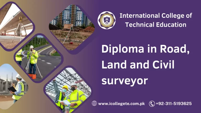
The Civil Surveyor Certification Course is a comprehensive program designed to equip participants with the knowledge and skills necessary to excel in the field of civil surveying. Surveying is a critical aspect of civil engineering and construction projects, playing a pivotal role in ensuring accurate measurements, site planning, and project execution. This course provides a solid foundation in surveying principles, techniques, and technologies, empowering individuals to become proficient civil surveyors.
Course Benefits:
Upon successful completion of the Civil Surveyor Certification Course, participants can expect to gain the following benefits:
Industry-Ready Skills: Graduates will possess practical skills required to conduct accurate measurements, perform land surveys, and create detailed maps crucial for construction and infrastructure projects.
Career Opportunities: With the growing demand for infrastructure and construction projects, certified civil surveyors are highly sought after by engineering firms, government agencies, and real estate companies.
Hands-on Experience: The course incorporates hands-on training using the latest surveying equipment and software, ensuring that participants are prepared to tackle real-world challenges.
Problem-Solving Abilities: Participants will develop critical thinking and problem-solving skills necessary to address complex surveying issues and make informed decisions on the field.
Professional Networking: Engaging with fellow participants and industry experts during the course provides valuable networking opportunities, potentially opening doors to internships and job placements.
Course Learning Outcomes:
By the end of the Civil Surveyor Certification Course, participants will be able to:
Understand Surveying Fundamentals: Comprehend the fundamental principles of surveying, including measurements, angles, distances, and elevation.
Operate Surveying Instruments: Proficiently use total stations, GPS systems, and other modern surveying instruments to collect accurate data.
Conduct Land Surveys: Perform boundary surveys, topographic surveys, and construction layout surveys with precision.
Create Maps and Drawings: Generate detailed maps, plats, and drawings using Computer-Aided Design (CAD) software.
Utilize Surveying Software: Apply industry-standard software for data processing, analysis, and visualization.
Implement Safety Protocols: Ensure safety on surveying sites by adhering to best practices and guidelines.
Communicate Effectively: Clearly convey survey findings and data through written reports and visual representations.
Course Study Units:
The Civil Surveyor Certification Course is divided into the following study units:
- Introduction to Surveying
- Importance of Surveying in Civil Engineering
- Historical Development of Surveying Techniques
- Basic Surveying Concepts
- Units and Measurements
- Linear and Angular Measurements
- Error Analysis and Precision
- Surveying Instruments
- Total Stations
- Global Positioning Systems (GPS)
- Digital Levels and Theodolites
- Land Surveying
- Legal Descriptions and Land Ownership
- Boundary Surveys and Land Subdivision
- Topographic Surveys
- Construction Surveying
- Construction Layout Surveys
- Building Control and Alignment
- Quantity and Area Measurements
- Geospatial Data Analysis
- Geographic Information Systems (GIS)
- Remote Sensing and Aerial Photogrammetry
- Data Processing and Interpretation
- Computer-Aided Design (CAD) for Surveyors
- Introduction to CAD Software
- Creating Maps and Drawings
- Incorporating Survey Data into CAD
- Surveying Ethics and Safety
- Professional Ethics in Surveying
- Safety Precautions on Surveying Sites
- Real-World Applications and Case Studies
- Surveying for Infrastructure Projects
- Land Development and Real Estate Surveys
- Environmental Monitoring and Conservation
Entry Requirements:
To enroll in the Civil Surveyor Certification Course, participants are expected to have:
- A high school diploma or equivalent qualification.
- Basic knowledge of mathematics and geometry.
- Proficiency in using computers and basic software applications.
Future Progressions:
Upon completion of the Civil Surveyor Certification Course, graduates can explore various opportunities for career advancement and specialization:
Professional Surveyor: Graduates can pursue licensure as professional surveyors, which enables them to offer surveying services independently.
Specialized Fields: Graduates can specialize in areas such as geodetic surveying, hydrographic surveying, or mining surveying.
Higher Education: Those interested in further education can pursue bachelor’s or master’s degrees in surveying, geomatics, or related fields.
Project Management: The knowledge gained from this course can serve as a foundation for transitioning into project management roles within the construction and engineering industries.
Research and Development: Opportunities exist in research and development of new surveying technologies, equipment, and methodologies.
Conclusion:
The Civil Surveyor Certification Course provides a comprehensive education in the principles and practices of surveying, equipping participants with the skills needed to excel in the dynamic field of civil engineering and construction. With a strong emphasis on hands-on training, industry-relevant software, and real-world applications, graduates will be well-prepared to contribute effectively to infrastructure projects and make significant contributions to the built environment. This course opens doors to a multitude of career opportunities and offers a solid foundation for continuous professional growth in the surveying industry.